
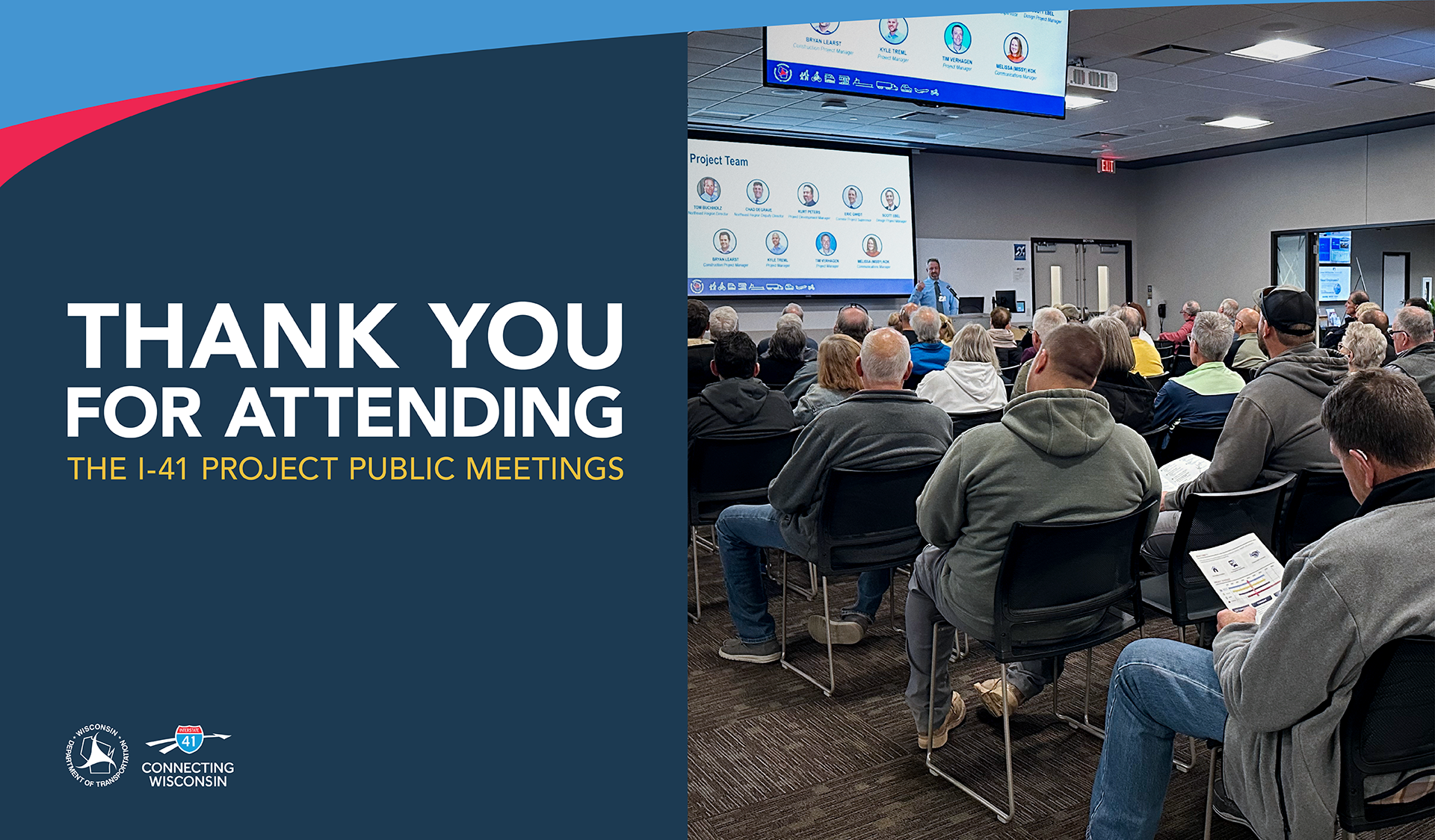
Join us at an upcoming public involvement meeting this October! Attend online or in person.
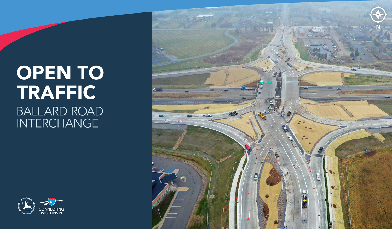
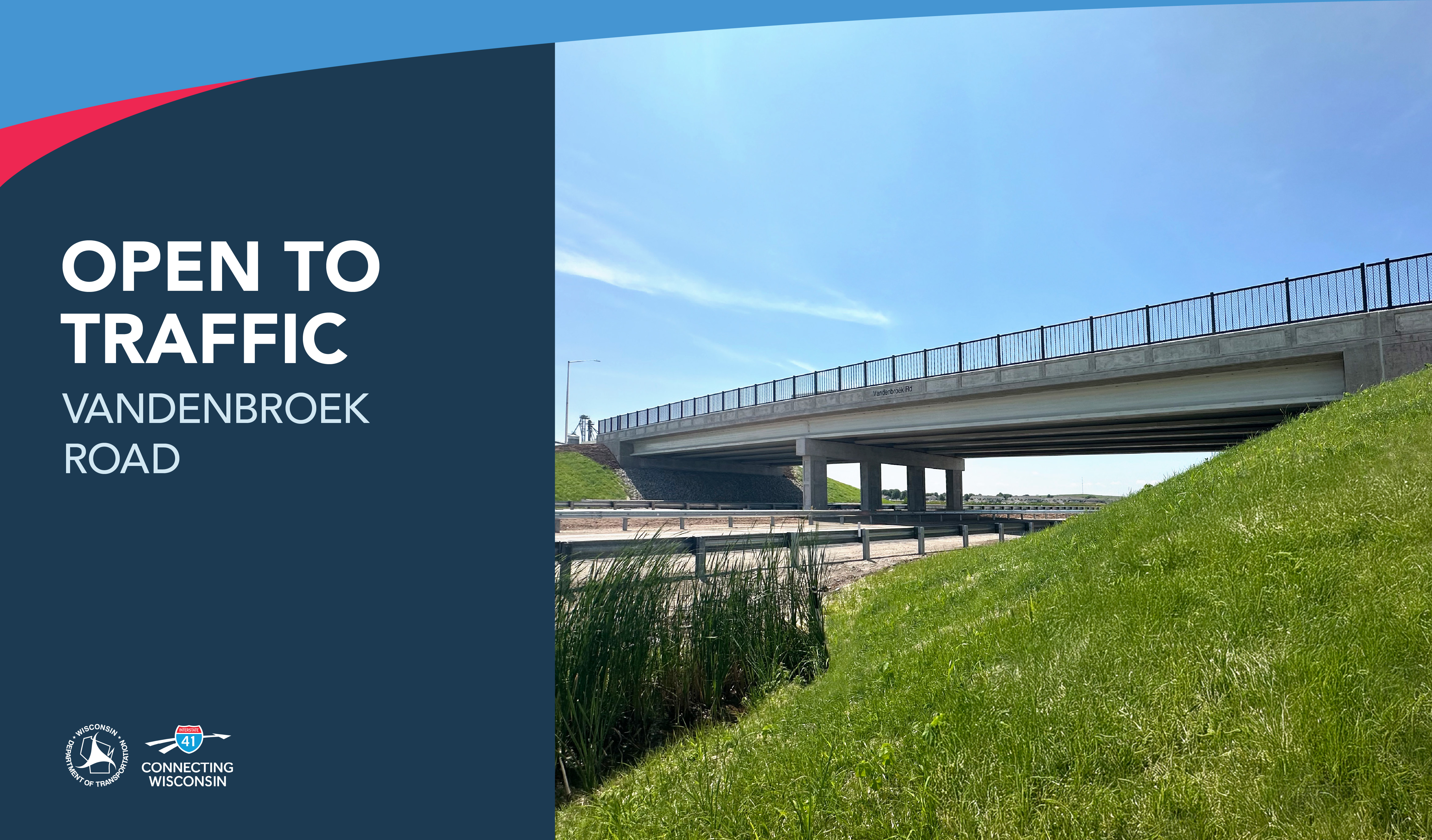
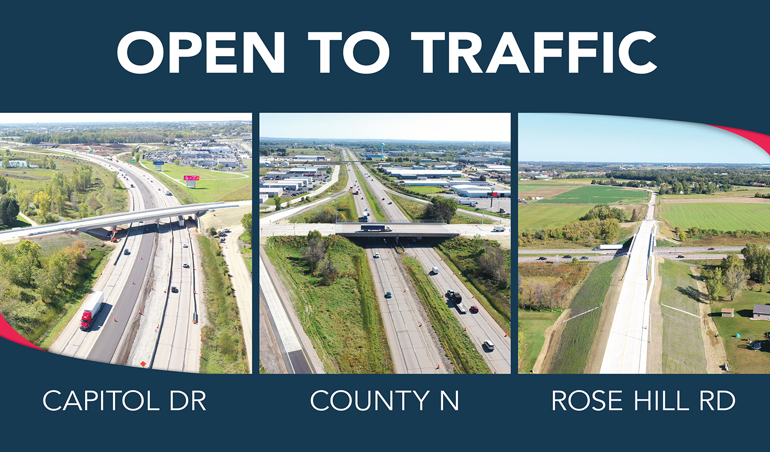
Learn MoreThe Ballard Road interchange in Appleton is now open to traffic!
Crews worked diligently through weather challenges to put the finishing touches on the new Diverging Diamond Interchange (DDI).
Visit the About page to learn more about navigating a DDI. Thank you for your continued patience and support!


(Updated August 26)
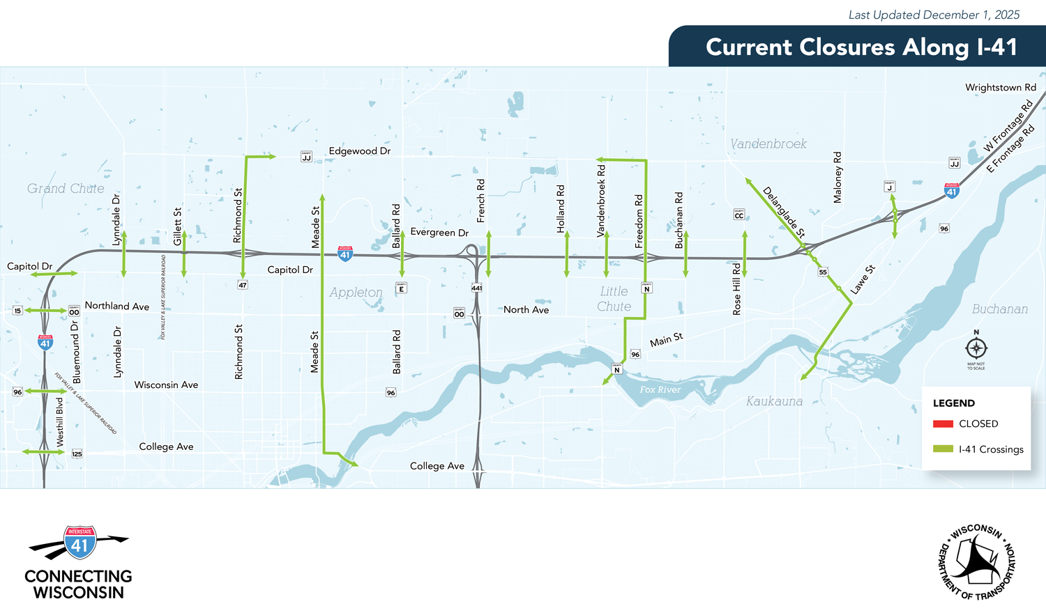
Week of August 26
Updated on January 12
Week of January 12
Long Term Closure
Updated on January 12
Week of January 12
Long Term Closure

