Connecting Northeast Wisconsin
I-41 from APPLETON to DE PERE

Join us at an upcoming public involvement meeting this March!
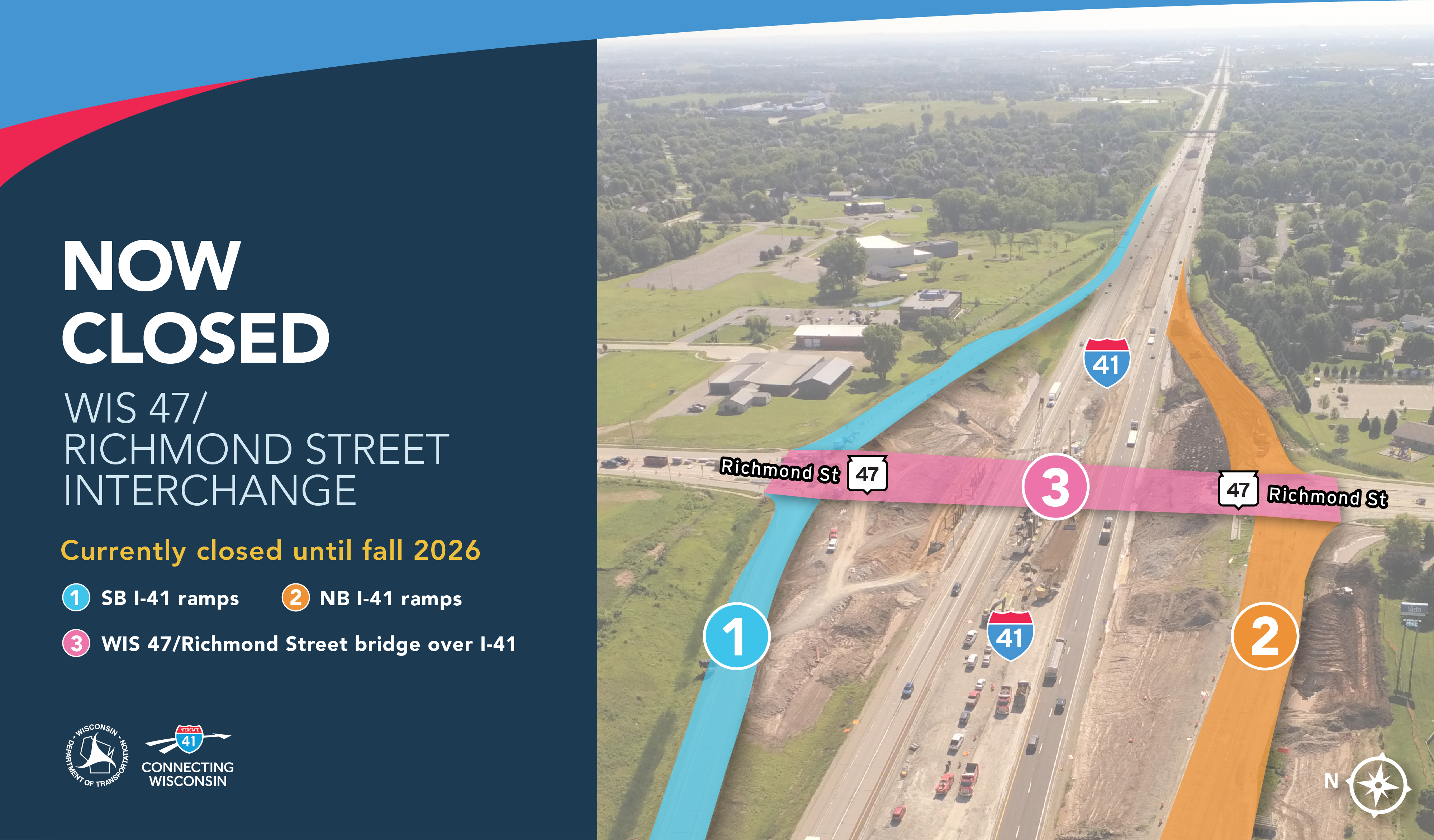
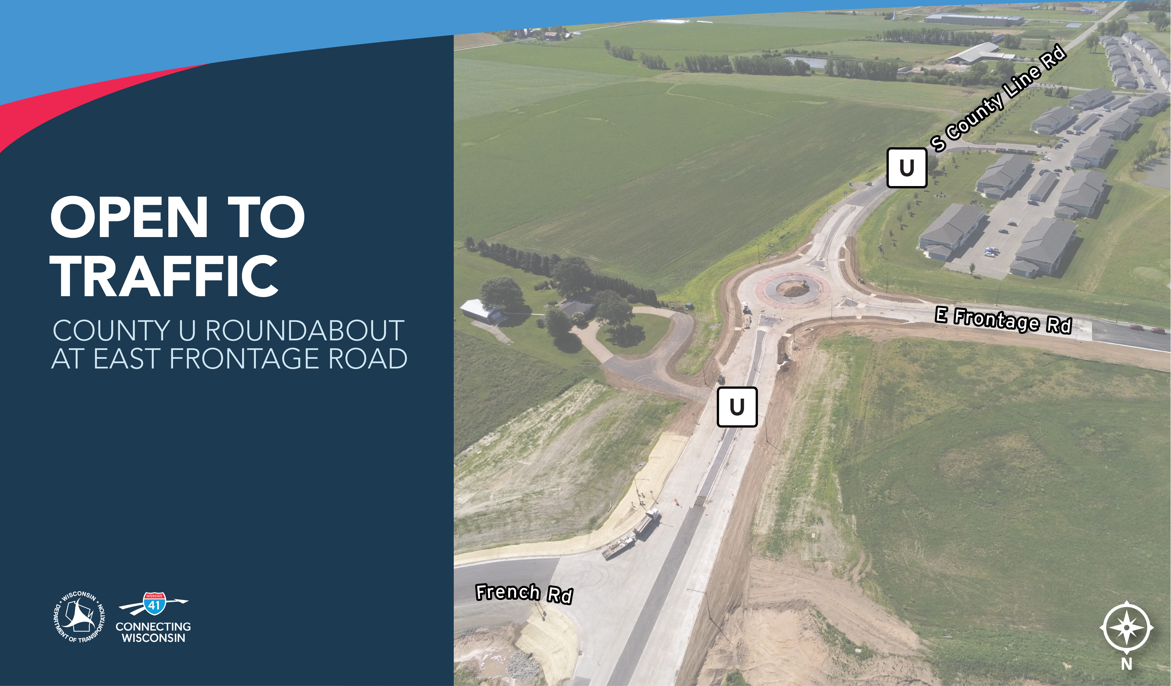
Learn MoreConstruction along the I-41 corridor in Outagamie and Brown Counties continues as crews advance mainline reconstruction and interchange improvements.
A new aerial look highlights several active work zones and outlines the current and upcoming impacts expected through summer 2026, including ongoing ramp and interchange work throughout the corridor.
These improvements are part of the longterm effort to deliver smoother travel, better traffic flow, and enhanced safety for drivers moving through the Fox Valley.
Learn more about what’s happening at the interchange on the Construction page.


(Updated August 26)
Week of August 26
Updated July 31, 2026
Week of August 3, 2026
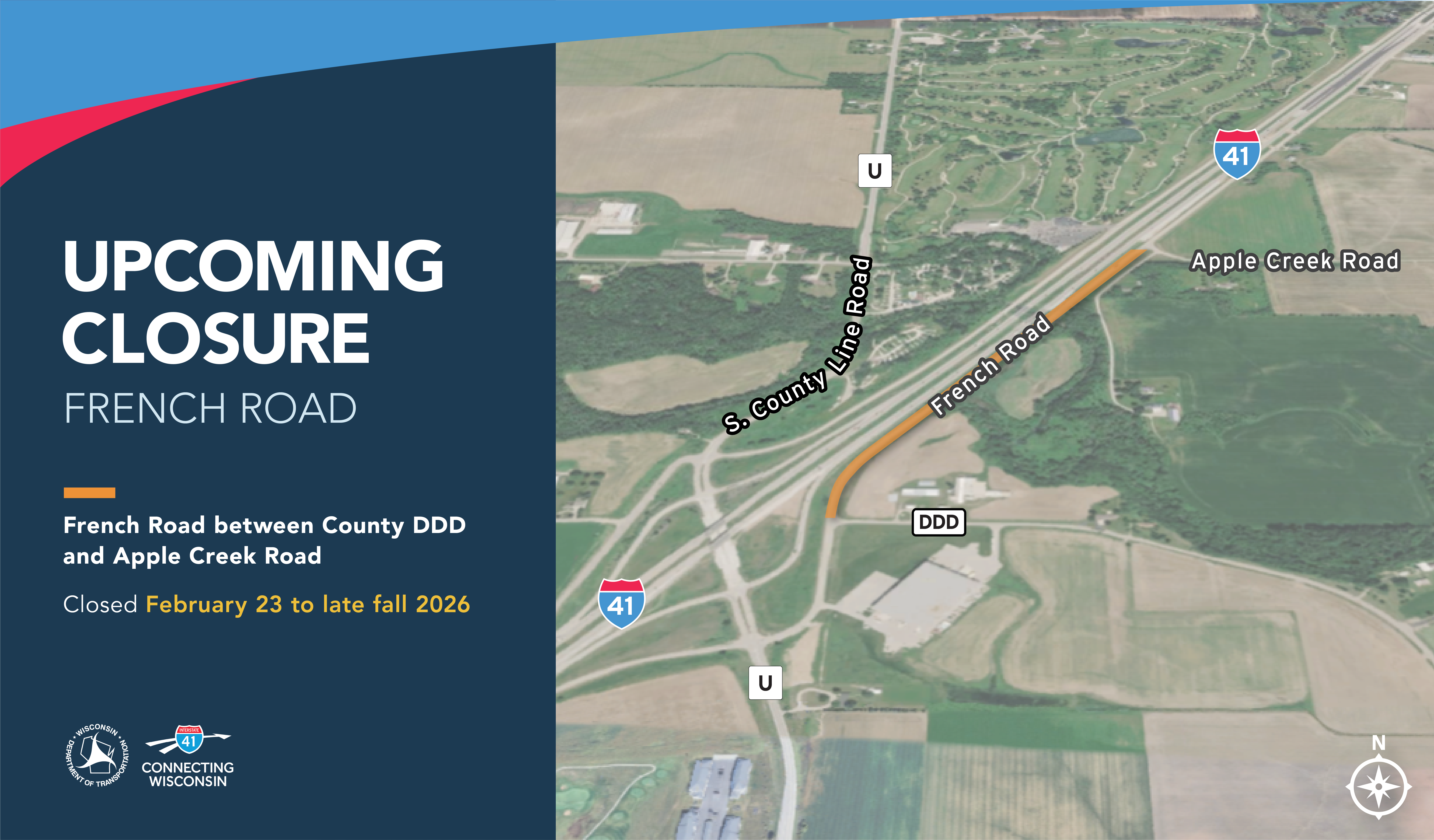
Long-Term Closure
Updated July 31, 2026
Week of August 3, 2026
Long-Term Closure

.svg)


