WIS 96 (Wisconsin Avenue)
Project ID:
4075-40-00
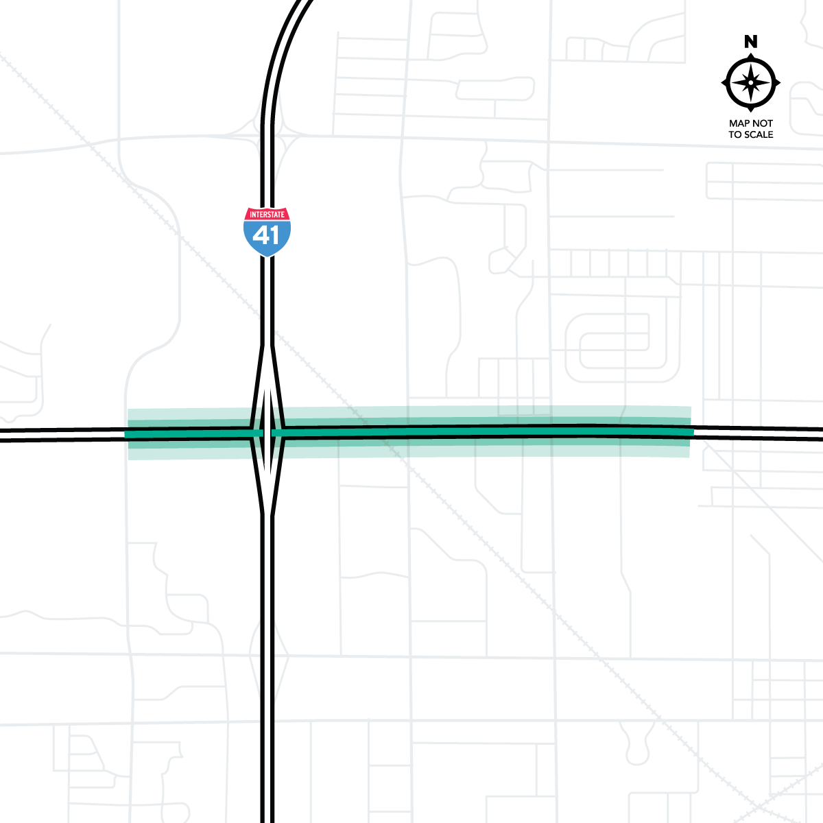
This project includes pavement and railroad crossing improvements on WIS 96 (Wisconsin Avenue) to extend the life of the roadway and provide a safer, more reliable all‑weather surface. Most work will be completed under traffic using off‑peak, single‑lane closures. Short‑term lane closures will be needed at certain intersections, and a one‑week detour of WIS 96 will be required for railroad crossing work west of Badger Avenue.
Location
Grand Chute, Outagamie County
Project Limits
Casaloma Drive to North Badger Avenue
start date
Spring 2026
end Date
Fall 2026
project contact
Jesse Hansen, P.E., Project Manager
(920) 492-5630
Jesse.Hansen@dot.wi.gov
I-41 Flyover Ramps
Project ID:
1130-73-71
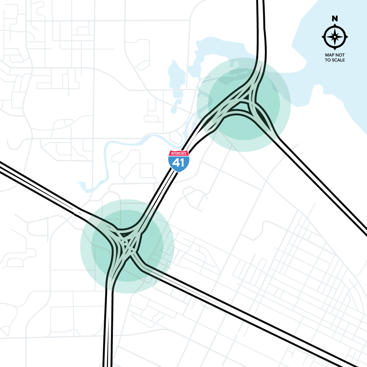
This is a bridge preservation project and will include deck repairs to extend the service life of the flyover structures.
Location
Brown and Winnebago counties
Project Limits
US 45 to I‑43
start date
Summer 2026
end Date
Fall 2027
project contact
Joshua Lang, P.E., Project Manager
(920) 492-4141
Joshua.Lang@dot.wi.gov
South Bridge Connector
Project ID:
4556-02-00
The South Bridge Connector is a major transportation project in Brown County that will build a new roadway and bridge across the Fox River to improve east-west travel around De Pere and southern Brown County.
Location
De Pere and Town of Lawrence
Project Limits
County Highway EB to County Highway GV
start date
April 2025 (Expected)
end Date
2030 (Expected)
project contact
Chris Hardy, Brown County Highway Commissioner
(920) 662-2170
Chris.Hardy@browncountywi.gov


.jpg)

.svg)


